Trustpilot


Book Details
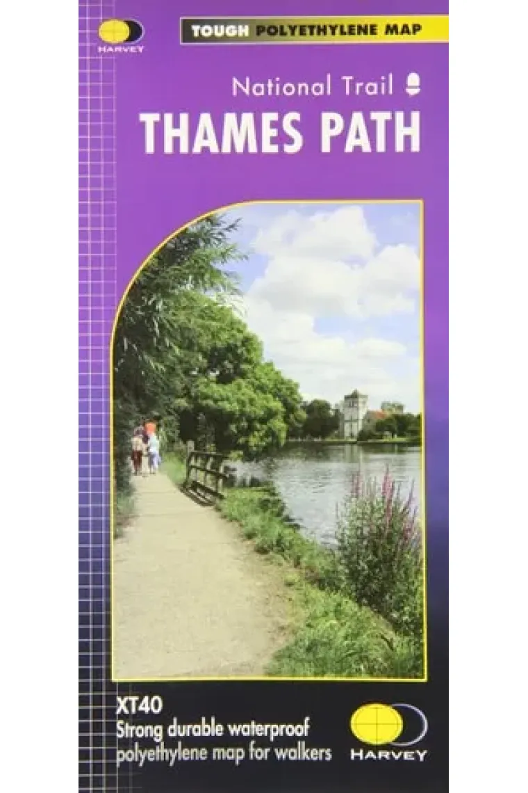
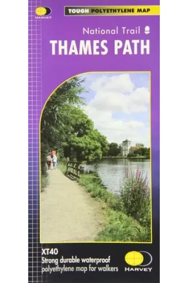
The Thames Path follows the banks of the river for 184 miles (294km) from the flood barrier at Woolwich in South East London to Kemble Gloucestershire. It is a long distance walking route, most of it cannot be cycled. The Trail passes through water meadows, historic towns and lovely villages. The path is flat which makes for easy walking. Jos Joslin National Trails Manager (Marketing & Projects) said of this map, Really beneficial to have the whole length of the Thames Path upstream of London on just one map. Clear mapping and useful information makes this this a very practical map. This map is printed on 100% waterproof paper which is light, durable and tearproof.
Read more - Author Harvey Map Services Ltd.
- ISBN13 9781851375127
- ISBN10 1851375120
- Pages 1
- Published 2012
- Fecha de publicación 01/03/2012
- Language German, French
Reviews and ratings
Be the first to rate it!
Have you read Thames Path?


Thames Path (German, French)
- By
- Harvey Map Services Ltd.
- 9781851375127
19,71€
20,75€
-5%
Shipping Free
Not available
19,71€
20,75€
-5%
Shipping Free
Not available


Free returns

 Thank you for shopping at real bookstores!