Trustpilot


Detalls del llibre
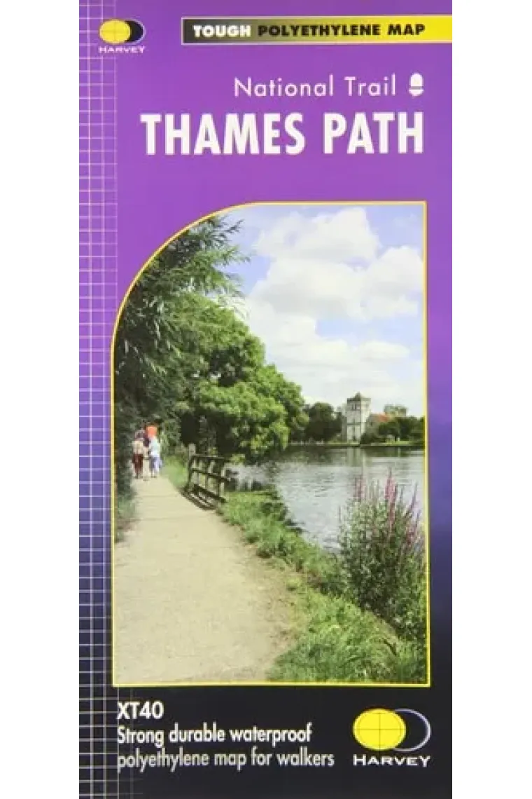
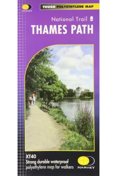
The Thames Path follows the banks of the river for 184 miles (294km) from the flood barrier at Woolwich in South East London to Kemble Gloucestershire. It is a long distance walking route, most of it cannot be cycled. The Trail passes through water meadows, historic towns and lovely villages. The path is flat which makes for easy walking. Jos Joslin National Trails Manager (Marketing & Projects) said of this map, Really beneficial to have the whole length of the Thames Path upstream of London on just one map. Clear mapping and useful information makes this this a very practical map. This map is printed on 100% waterproof paper which is light, durable and tearproof.
Llegir més - Autor/a Harvey Map Services Ltd.
- ISBN13 9781851375127
- ISBN10 1851375120
- Pàgines 1
- Any Edició 2012
- Fecha de publicación 01/03/2012
- Idioma Alemany, Francès
Ressenyes i valoracions
Sigues la primera persona a valorar-lo!
Has llegit Thames Path?


Thames Path (Alemany, Francès)
- De
- Harvey Map Services Ltd.
- 9781851375127
19,71€
20,75€
-5%
Enviament Gratuït
No disponible
19,71€
20,75€
-5%
Enviament Gratuït
No disponible


Devolució gratuïta

 Gràcies per comprar a llibreries reals!