Detalles del libro
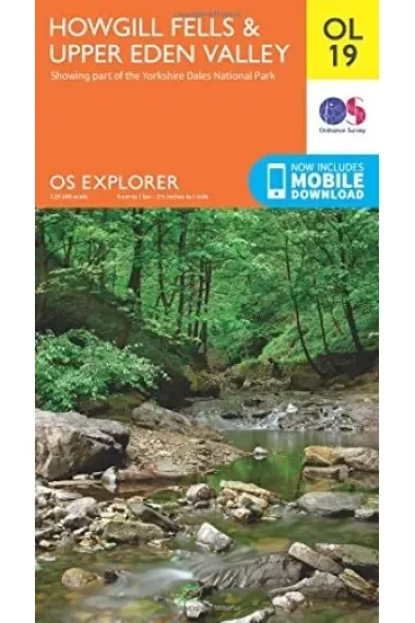
The essential map for outdoor activities in Howgill Fells and Upper Eden Valley. The OS Explorer Map is the Ordnance Survey's most detailed folding map and is recommended for anyone enjoying outdoor activities including walking, horse riding and off-road cycling. This map now comes with a digital version which you can download to your smartphone or tablet.FeaturesPennine WayDales WayDales Way (Guide Book)Pennine Way (National Trail)E2 (European Long Distance Route)Kirkby StephenSedberghDurhamNorth Yorkshire1:25 000 scale (4 cm to 1 km - 2.5 inches to 1 mile)This map comes with a digital version which you can download to your smartphone or tablet.
Leer más - Autor/a Great Britain. Ordnance Survey
- ISBN13 9780319263341
- ISBN10 0319263347
- Año de Edición 2016
- Fecha de publicación 31/10/2016
- Idioma Alemán, Francés
Reseñas y valoraciones
¡Sé la primera persona en valorarlo!
¿Has leído Howgill Fells?


Howgill Fells (Alemán, Francés)
- De
- Great Britain. Ordnance Survey
- 9780319263341
16,05€
16,90€
-5%
No disponible
16,05€
16,90€
-5%
No disponible


Devolución gratis

 ¡Gracias por comprar en librerías reales!